
North Georgia mountains
Waterfalls & Appalachian Trail Day Trips
From the cascade at Amicalola to the southern end of the Appalachian Trail, Dahlonega is a base for several very different mountain walks.
Four ways into the mountains
A waterfall and a stretch of the Appalachian Trail can fit into the same trip, but they do not require the same trailhead. Amicalola offers a state-park waterfall and a choice of walks. Long Creek Falls combines the A.T. with a short waterfall spur. Springer Mountain is for the trail’s southern terminus; Woody Gap is the simpler road-access choice for a ridge view.
Waterfall with facilities
Amicalola Falls: a state park with several access points and a stair-heavy loop.
Waterfall plus A.T.
Long Creek Falls: 1.8 miles round trip, with rough forest-road access.
The southern terminus
Springer Mountain: 2 miles round trip from the Forest Service Road 42 parking area.
Ridge view from a paved road
Woody Gap to Preacher’s Rock: 2.4 miles round trip with a climb.
Amicalola Falls: a waterfall day with choices
Amicalola Falls State Park is the most flexible stop here. The state park describes its falls loop as 2.1 miles, with many stairs; starting at the visitor center takes you past the stone arch and up toward the falls. A parking area by the reflection pool offers a shorter starting option. Georgia State Parks also identifies a hard-surfaced route with a waterfall view; check its current accessibility details with the park before relying on it.
The arch marks the start of the approach trail, not the Appalachian Trail itself. The A.T.’s southern terminus is on Springer Mountain. A walk to the falls and back is a distinct outing from a hike all the way to Springer. Allow time for the return and check park hours, parking fees and trail notices before leaving.
Three Forks to Long Creek Falls
For a short walk that includes both a waterfall and the A.T., start at Three Forks where the trail crosses Forest Service Road 58. Follow the A.T. northeast for 0.8 mile, then take the blue-blazed side trail left for another 0.1 mile to the falls. Return the same way: the Appalachian Trail Conservancy lists the trip at 1.8 miles round trip and rates it easy.
The short mileage does not make the drive simple. The Conservancy’s directions use Forest Service Roads 28, 77 and 58; these roads can be rough or impassable to cars and vans in winter or very wet weather. Check conditions with the Blue Ridge Ranger District at 706-745-6928 and use the linked directions rather than relying on a single map pin. Stay on the trail and viewing areas; wet rocks around waterfalls are slippery.
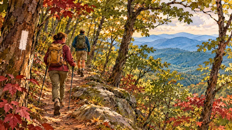
Springer Mountain: stand at the A.T.’s southern end
From the parking area on Forest Service Road 42, cross the road and follow the white-blazed A.T. south uphill. The Conservancy describes a steady climb, passing the Benton MacKaye Trail junction after 0.8 mile and reaching the summit 0.2 mile later. Retrace the route for a 2-mile round trip; the Conservancy rates it moderate. This is a summit hike, not the much longer approach from Amicalola.
The road is part of the commitment: Forest Service Roads 28, 77 and 42 can be rough, especially in winter or wet weather. Confirm road conditions before setting out and turn back if they are unsuitable for your vehicle. There are no amenities at the terminus; carry what you need and leave enough daylight to return.
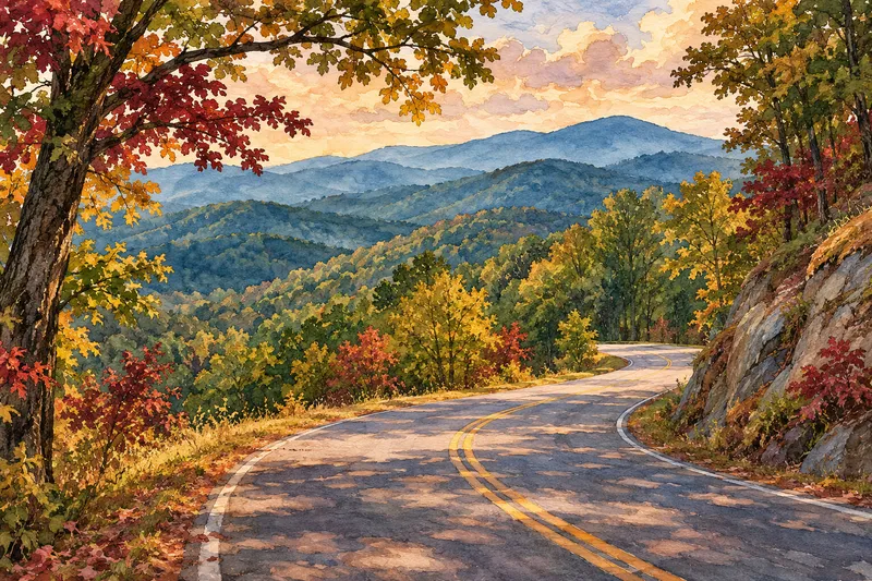
Woody Gap to Preacher’s Rock
If the forest roads are a poor fit, Woody Gap provides A.T. access from GA 60 north of Dahlonega. From the gap, follow the A.T. north to Preacher’s Rock and return by the same route. The Conservancy’s dedicated hike page lists 2.4 miles round trip, with switchbacks on the climb. Its separate day-hike overview estimates 2 miles, so allow for the longer distance. Parking is on either side of the highway, with a vault toilet but no water listed in the guide. Take care crossing the road and bring water.
Before you go
Check the forecast, road status and trail alerts on the day of travel. Winter ice, heavy rain and downed trees can change both the drive and the hike; summer heat and thunderstorms call for an earlier start and a conservative turnaround. Spring and fall weekends can be busy. Carry water, a downloaded map, layers and a light, and tell someone your route. Do not climb on waterfall rocks or enter swift water.
Official resources
Trail descriptions and current information
Use these park and Appalachian Trail Conservancy guides for trail directions, accessibility details, and current alerts before setting out.
Back in town, explore Dahlonega restaurants or make a longer stay with the weekend itinerary.